Slovakia 5G and 4G Coverage in 2026: Cities Strong, Mountains Variable
The big picture: strong in the populated country, variable in the mountains
Slovakia has built a strong, modern mobile network, and for the traveler that means signal almost everywhere people live and travel. Four G blankets the populated country, including small towns, villages, the valleys and the major routes, and 5G has rolled out across Bratislava, Kosice and the larger towns. The three networks, Orange, Telekom and O2, each maintain solid infrastructure, and competition between them has kept coverage strong and prices low. The defining feature of Slovak coverage, though, is the country's mountainous geography: roughly the central and northern spine of Slovakia is high mountain terrain, the Tatras, the Low Tatras, the Fatra ranges, and there the dramatic peaks and deep valleys shape coverage, which follows the valleys and the resort towns and fades on the high peaks and trails. This is normal mountain behavior, not a network weakness. So the honest framing is two part: in the towns, cities and valleys you have fast reliable data, while in the high mountains coverage is variable, strong in the resorts and valleys and absent on the peaks, which matters for the hiking that draws many visitors.
Bratislava, Kosice and the towns
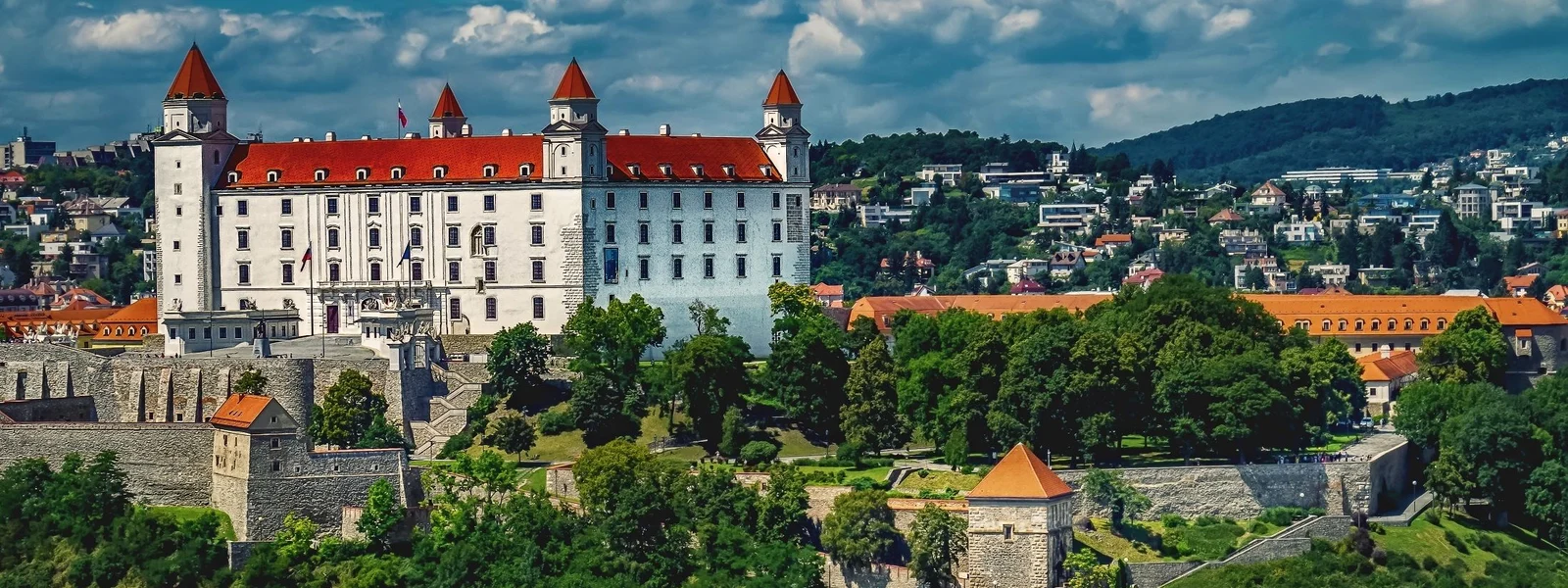
In Bratislava you have nothing to worry about. The compact old town, the castle, the riverside and the surrounding areas all have fast 5G and 4G from every network, so maps, mobile payments, video calls and uploads all work instantly. Bratislava, sitting right on the Austrian border near Vienna, is a well connected modern capital. Kosice, the eastern city with its grand gothic cathedral, is equally well covered. The other towns, Zilina, Banska Bystrica, Trencin, Nitra, and Poprad, the gateway town to the High Tatras, all have solid coverage. The main roads and motorways connecting the cities and running along the valleys are well covered, so getting around the populated parts of Slovakia keeps you online throughout. For the urban and valley based parts of any Slovak trip, including the towns from which you access the mountains, connectivity is excellent and effortless, and you only encounter the gaps when you climb up into the high terrain itself.
The High Tatras and the mountains
The mountains are where Slovak coverage gets interesting, and where the country differs from its flatter neighbors. The High Tatras, the dramatic alpine range on the Polish border that is Slovakia's signature landscape, follow the classic mountain pattern: the resort towns and bases like Strbske Pleso, Stary Smokovec and Tatranska Lomnica have good coverage, as do the valleys and the lower trails, but as you climb up to the high peaks, the ridges and the remote mountain lakes, signal fades and often disappears entirely. The same applies to the Low Tatras, the Mala and Velka Fatra ranges, and the other mountain areas that cover much of central and northern Slovakia. This means a hiking trip will regularly take you offline on the high trails, which is normal for mountains anywhere. The fix is the same as in any alpine country: download offline maps before you climb, and treat the high mountain sections as deliberately offline. In the resort towns and at the trailheads you are connected; it is the heights that go quiet.
Caves, valleys and the rest of the country
Beyond the high peaks, the rest of Slovakia is generally well covered. The forested valleys that thread between the mountains, the medieval mining towns, the wooden church villages, and the spa towns all have good coverage along their roads and in their settlements. Slovakia is famous for its caves, including spectacular ice caves and aragonite caves, and as with caves anywhere, signal drops underground but returns at the surface, so cache any information before descending. The wine country of the southwest near Bratislava, the lowlands along the Hungarian border, and the eastern regions around Kosice are all well covered. River valleys popular for rafting, like the Dunajec on the Polish border, keep signal near the towns but can lose it on remote forested stretches. So apart from the high mountains and the caves, both of which go offline by their nature, Slovakia is reliably connected throughout its populated valleys, towns and lowlands, with the mountains being the one significant and expected exception.
How to plan around the mountain gaps
Staying connected in Slovakia is mostly about handling the mountains sensibly, since the rest of the country is well covered. The core habit for any mountain hiking is to download offline maps of your trail before you set out, while you are still in the resort town or valley on strong signal, so your navigation works even on the high peaks where data disappears. Save trail information and let someone know your plans, especially for serious high routes, treating the mountains with the respect any alpine terrain deserves. Choose a travel eSIM that rides a network with good mountain reach, Telekom having a strong reputation in the Tatras, or that roams across several to grab the strongest signal in the valleys and resorts. For cave visits, cache what you need beforehand since you lose signal underground. With these precautions, the connected valleys and towns are effortless and the high mountains become a deliberately offline adventure rather than a problem. Speeds in the populated areas hold up well year round, and while the mountains see heavy snow in winter, the network in the valleys and resorts is built for it, so winter ski trips stay connected at the bases even as the high slopes, like the high trails in summer, fade out.
Speed, seasons and what to expect
Beyond the question of where you have signal, it is worth knowing what kind of speeds to expect and how the seasons play in. In Slovakia's cities, especially Bratislava and Kosice, 5G delivers genuinely fast speeds that handle anything you throw at them, from high definition video calls to large file uploads. Even the 4G that covers the towns and valleys is quick enough that most travelers would not notice the difference for everyday use. Speeds are most affected by congestion in very crowded places, the Tatra resorts at the height of the summer hiking season or the winter ski season, but the networks generally cope. The big seasonal factor in Slovakia is the mountains rather than the network: in winter the high Tatras are a ski destination, and the coverage pattern holds, connected at the resort bases and pistes lower down, offline in the high backcountry, while in summer the same range is for hiking with the same pattern. The cold continental winters do not degrade the network in the populated valleys and towns, which are built for the conditions, so a winter ski trip stays connected at the resort just as a summer hiking trip does at the base. For planning, assume fast reliable data everywhere populated in every season, with the high mountains offline year round whether under snow or not. The flat western half of the country has no such gaps at all. The only thing that genuinely changes your connectivity is altitude, not the calendar, which makes Slovakia predictable once you understand the mountain pattern: down low you are connected, up high you are not, in every season.
Planning a trip around the coverage map
Putting the coverage picture to practical use in Slovakia comes down to one organizing idea: the country splits into the connected lowlands, valleys and towns, and the variable high mountains. For a trip that stays in Bratislava, the western wine country, the towns, the valleys and the resort bases, which describes a large share of visits, you can essentially ignore coverage planning, because you will have fast data everywhere you go, including on the central European tour routes toward Vienna, Budapest and Prague. The planning kicks in only for the mountains. If your itinerary includes hiking in the High Tatras, the Low Tatras or the other ranges, the routine is to download offline maps of your trail while you are still in the resort town or valley on strong signal, so your navigation survives the high sections where data disappears, and to choose a travel eSIM with good mountain reach, Telekom or a multi network plan, to maximize your coverage in the valleys and on the lower slopes. For caves, cache what you need beforehand since you lose signal underground. Beyond the mountains and caves, there is little to plan, because Slovakia's coverage across the populated country is good. A useful mindset is to treat the offline high mountains as a feature: the places where your phone goes quiet, the granite peaks and remote glacial lakes of the Tatras, are exactly the wild, spectacular corners worth being fully present in, and the offline preparation lets you enjoy them safely. For the connected majority of any trip, Slovakia's coverage map is a reassurance; for the mountains, it is a prompt to prepare sensibly, the same as in any alpine country, after which the heights become a rewarding offline adventure rather than a worry.
Plans for Slovakia
Slovakia eSIM plans
Prices in USD. Instant QR activation. Pick your data, land connected.
FAQ
What coverage and network performance should travelers expect in Slovakia?
Putting the coverage picture to practical use in Slovakia comes down to one organizing idea: the country splits into the connected lowlands, valleys and towns, and the variable high mountains. For a trip that stays in Bratislava, the western wine country, the towns, the valleys and the resort bases, which describes a large share of visits, you can essentially ignore coverage planning, because you will have fast data everywhere you go, including on the central European tour routes toward Vienna, Budapest and Prague. The planning kicks in only for the mountains.
How to plan around the mountain gaps?
Staying connected in Slovakia is mostly about handling the mountains sensibly, since the rest of the country is well covered. The core habit for any mountain hiking is to download offline maps of your trail before you set out, while you are still in the resort town or valley on strong signal, so your navigation works even on the high peaks where data disappears. Save trail information and let someone know your plans, especially for serious high routes, treating the mountains with the respect any alpine terrain deserves.
What should travelers prepare before entering low-coverage areas in Slovakia?
The mountains are where Slovak coverage gets interesting, and where the country differs from its flatter neighbors. The High Tatras, the dramatic alpine range on the Polish border that is Slovakia's signature landscape, follow the classic mountain pattern: the resort towns and bases like Strbske Pleso, Stary Smokovec and Tatranska Lomnica have good coverage, as do the valleys and the lower trails, but as you climb up to the high peaks, the ridges and the remote mountain lakes, signal fades and often disappears entirely. The same applies to the Low Tatras, the Mala and Velka Fatra ranges, and the other mountain areas that cover much of central and northern Slovakia.
What should travelers know about bratislava, kosice and the towns in Slovakia?
In Bratislava you have nothing to worry about. The compact old town, the castle, the riverside and the surrounding areas all have fast 5G and 4G from every network, so maps, mobile payments, video calls and uploads all work instantly. Bratislava, sitting right on the Austrian border near Vienna, is a well connected modern capital. Kosice, the eastern city with its grand gothic cathedral, is equally well covered. The other towns, Zilina, Banska Bystrica, Trencin, Nitra, and Poprad, the gateway town to the High Tatras, all have solid coverage.